Location
Shady Valley, Tennessee
United States
36° 31' 9.0012" N, 81° 55' 40.0008" W
See map: Google Maps
US
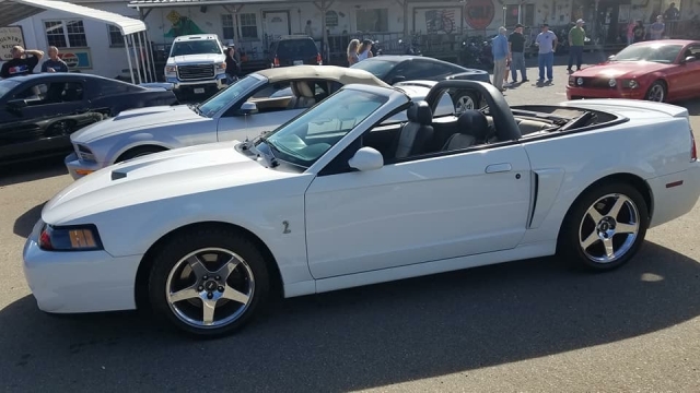
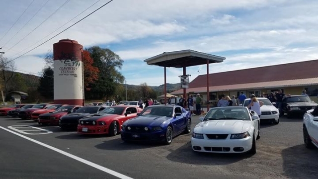
We had a ride with the Northeast Tennessee Mustang Clun and the First Tennessee Regional Mustang Club to Shady Valley, Backbone Rock, Damascus, and Holston Dam this past summer. I was able to capture a very good shot of my car. We also grabbed a great shot of a few of the Mustangs participating in the ride.
Location:
Shady Valley, Tennessee
United States
36° 31' 9.0012" N, 81° 55' 40.0008" W
See map: Google Maps
US


